So I know local rides will be different for everyone but thought it would be nice to share local rides for everyone while they are waiting to go on those nice long rides.
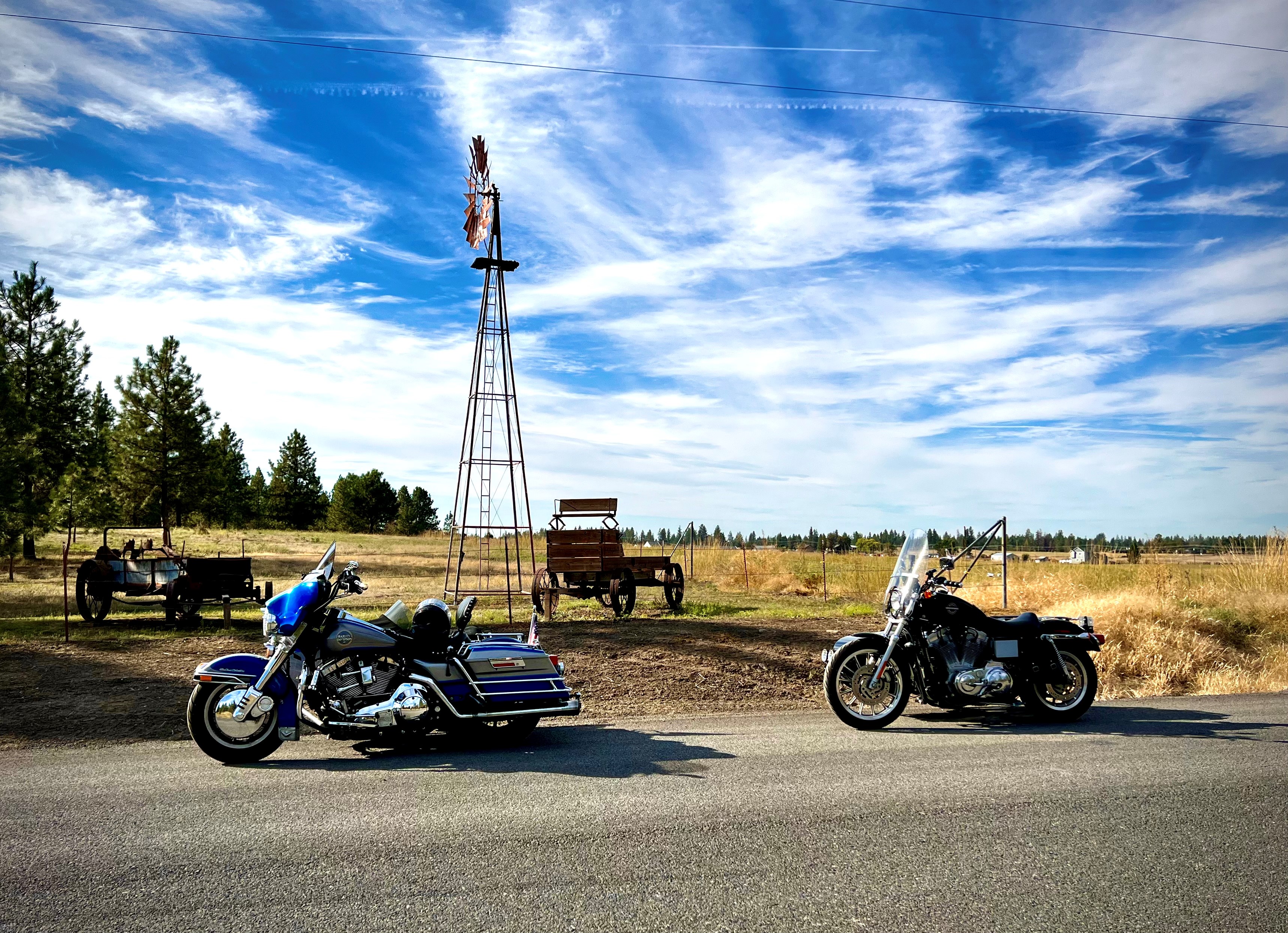
So one of my local rides is here in Spokane WA is going out to Green Bluff when the fruits and vegetables are ready to pick. The roads are curved going through the hills of small farms and orchards. They occasionally have a live band playing at one of them and are able to sample their fruits and vegetables, you can go pick your own or buy what is already been picked. This is a great way to spend a few hours or more.
My latest local drive in the backroads.
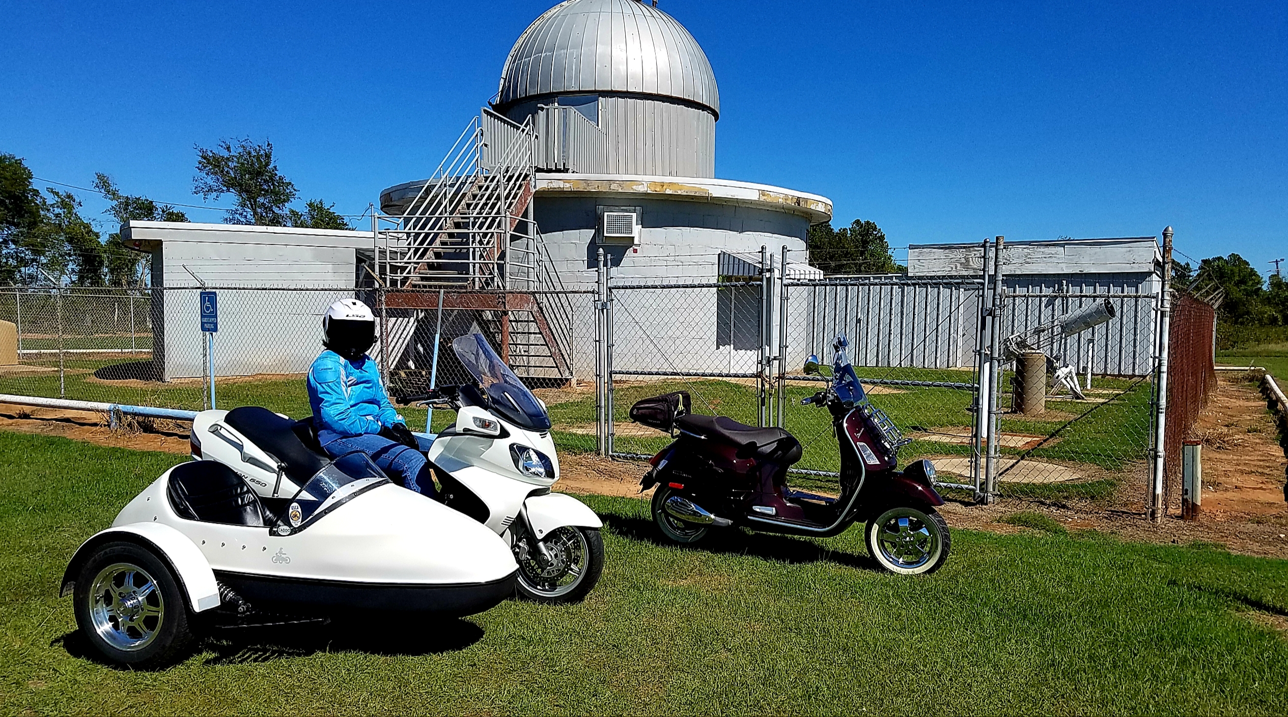
Stopped by the observatory on our local ride today, a "shakedown" run for Mrs. Swampfox in preparation for traveling to the Bunkie Boucherie on November 3rd.
Yeah, I rode the Vespa today as it had been sidelined for several months awaiting a special-order switch. I did a test run on the Sporster rig last weekend after installing a new windshield om the Texas Ranger.
Lee
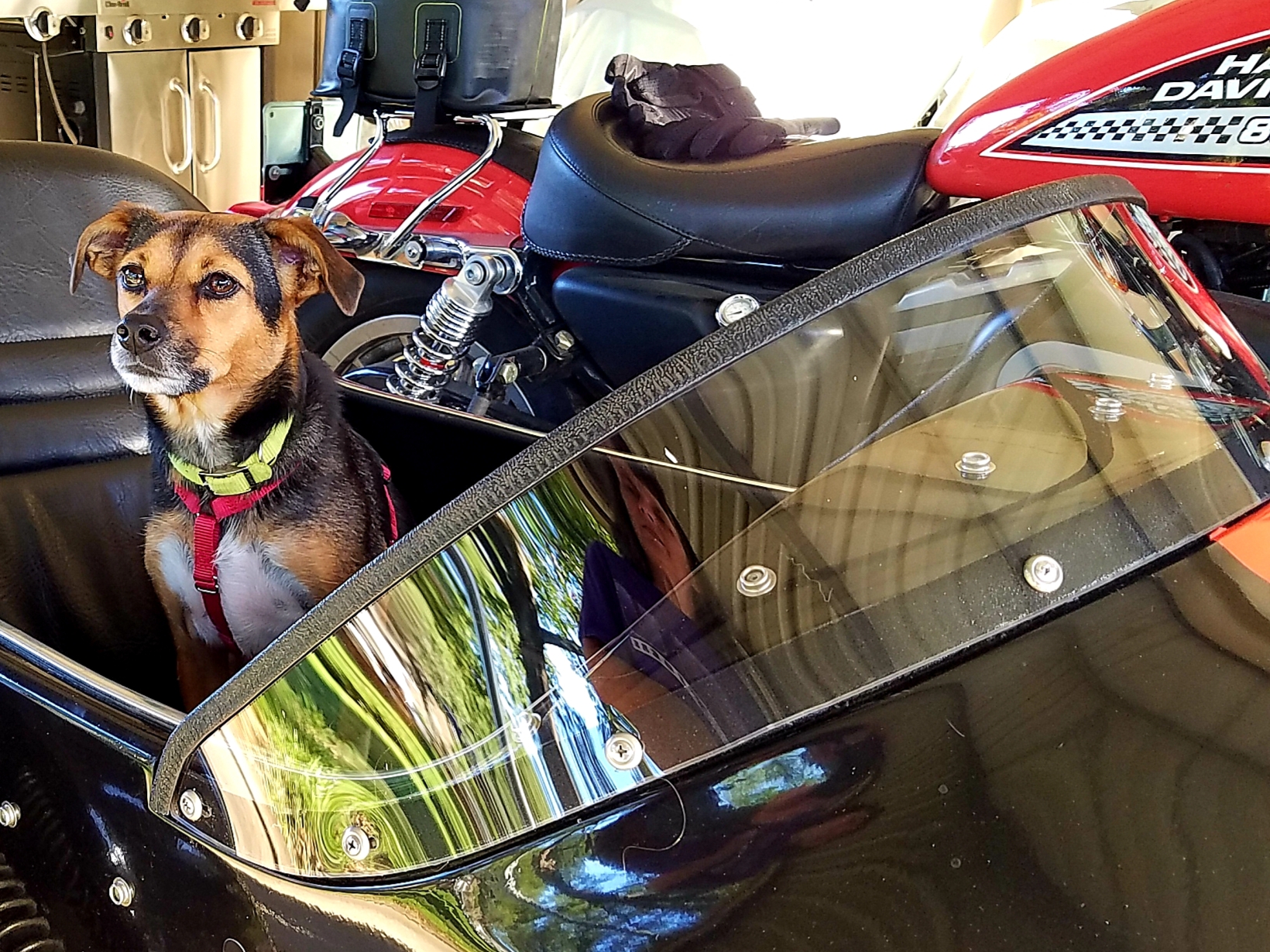
MB5+TW200+CRF250L+GTV300+INT650
XL883R w/Texas Ranger Sidecar
Zuma 50F + Burgman w/Texas Sidecar<Mrs. SwampFox
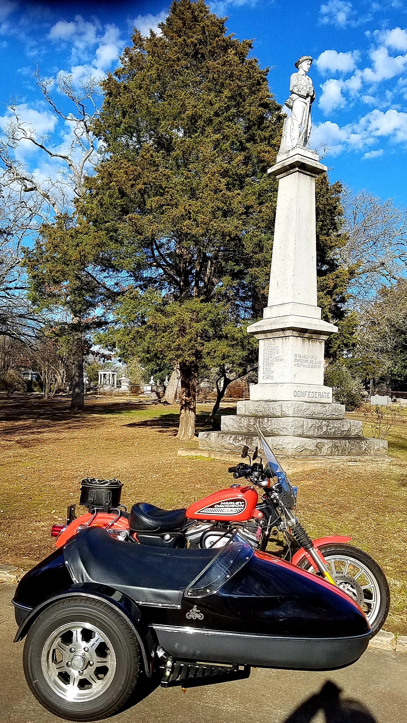
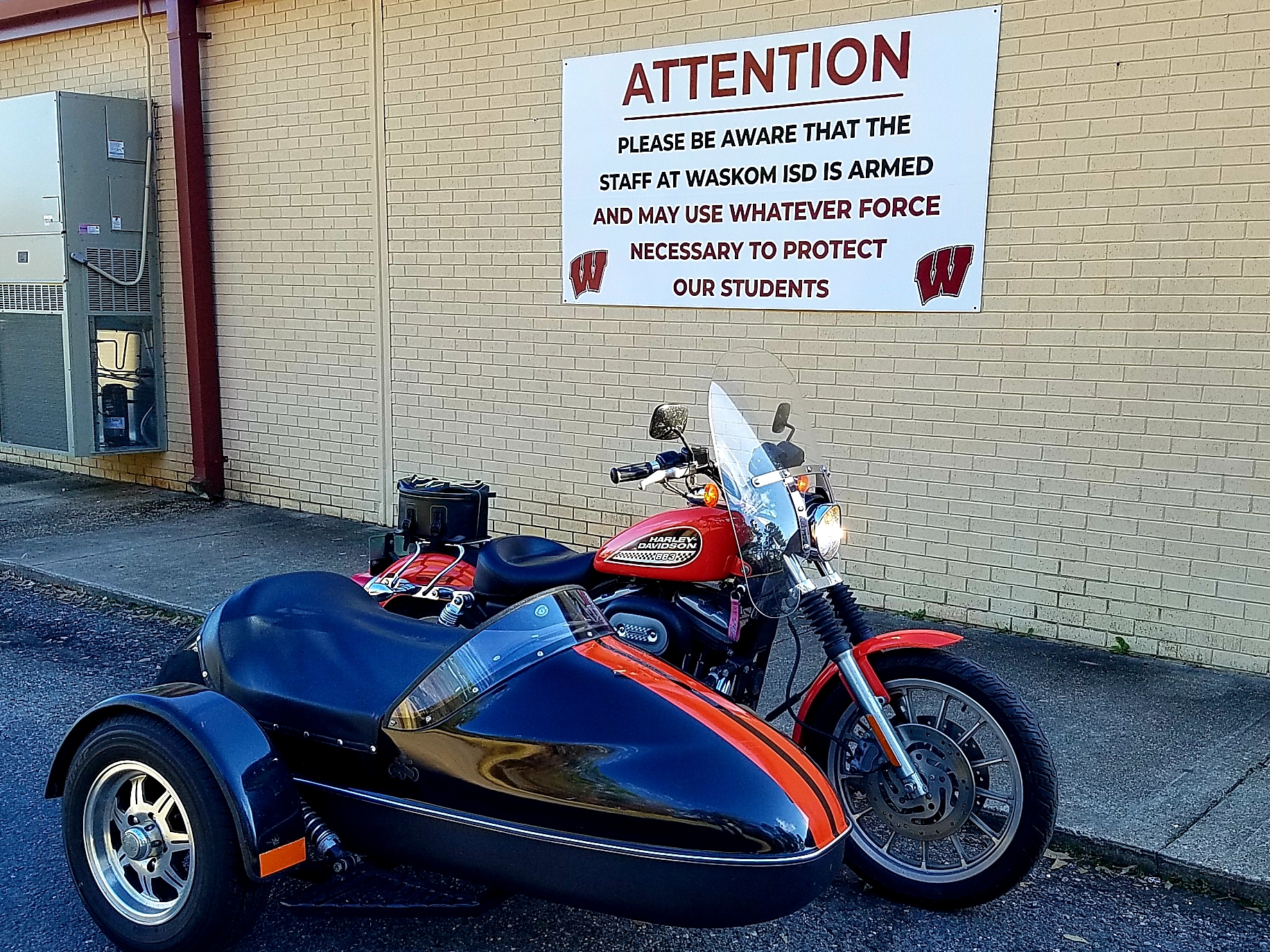
A nice February day to ride across the Texas state line to tend to some family business. Couple of pics fron Harrison County:
Lee
MB5+TW200+CRF250L+GTV300+INT650
XL883R w/Texas Ranger Sidecar
Zuma 50F + Burgman w/Texas Sidecar<Mrs. SwampFox
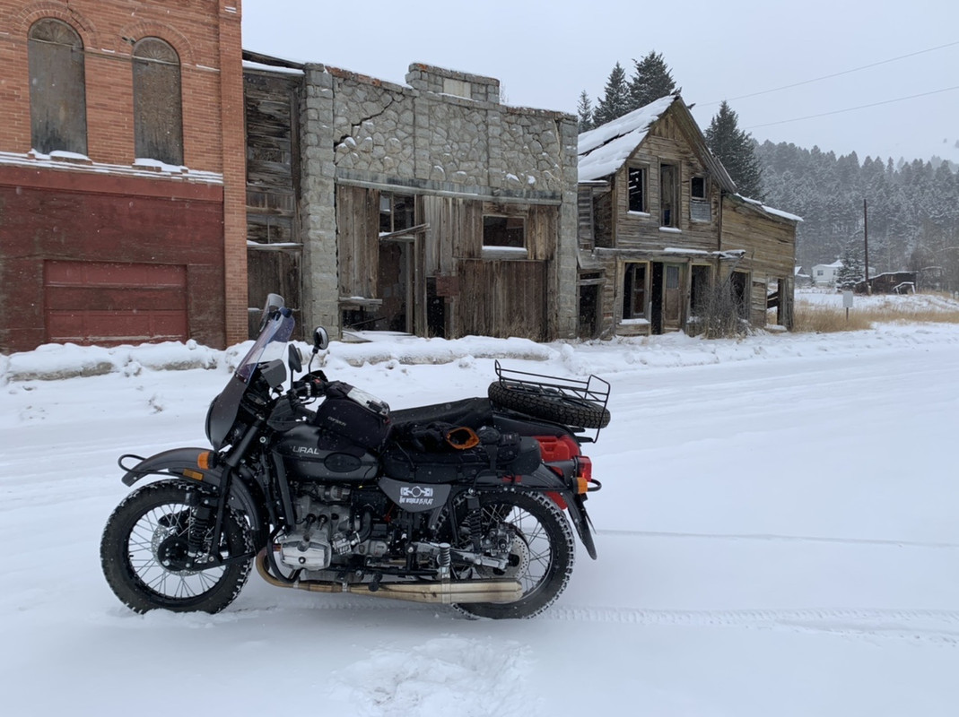
A short local ride is up the mountain to Marysville. Once a mining town of 5,000, it is now a sleepy little town of 70.
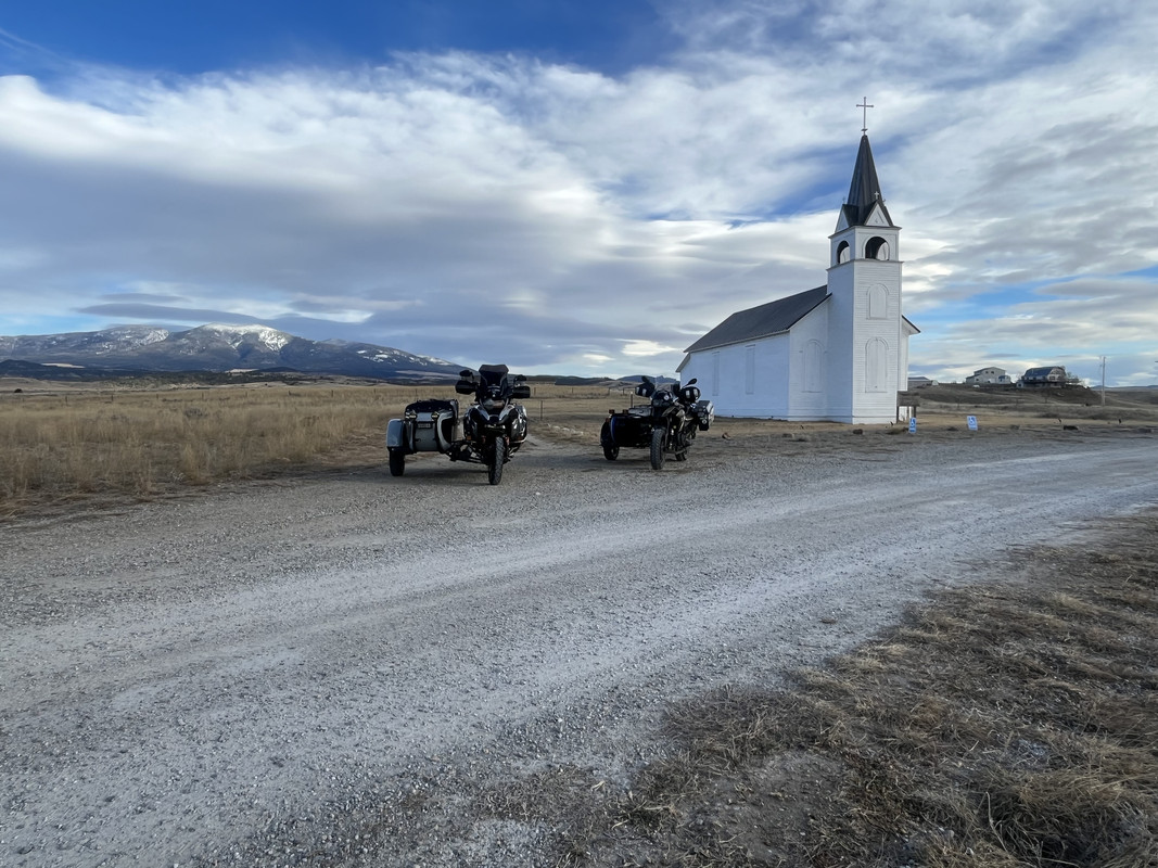
A bit longer ride is around Canyon Ferry Reservoir. It is a bit over 100 miles.
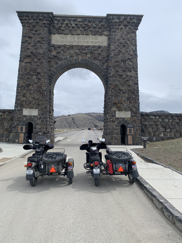
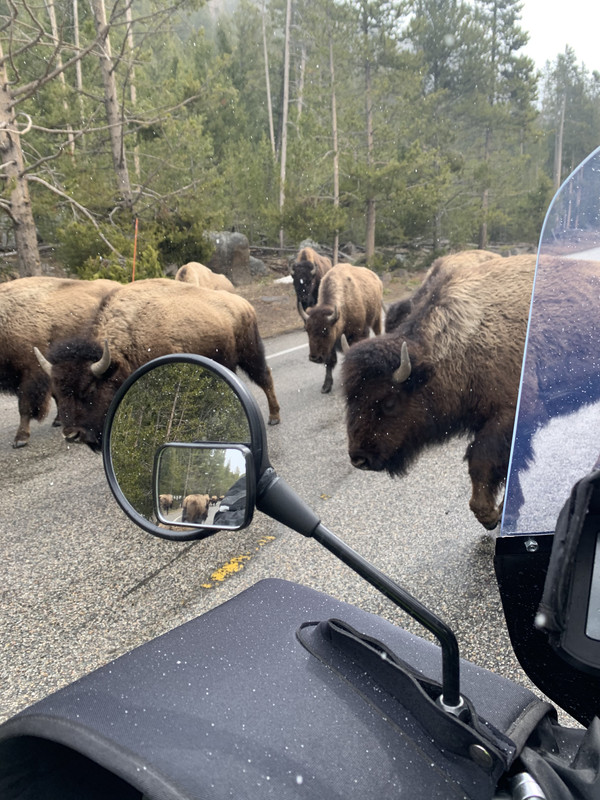
And, for a long day there is Yellowstone NP when the tourists aren’t there.

A day trip for me would be up NE Hwy 2 towards Alliance to see Carhenge and back. The Sandhills Scenic Byway is a unique bit of geography that has almost no trees, a 2000 ft total elevation change along undulating prairie, mostly devoid of towns.
Illegitemi non carborundum est!
Quote from Thane Lewis on February 7, 2024, 11:43 ama unique bit of geography that has almost no trees,
No trees.........No trees.........what kind of world do you live in ??????
Two Million Mile Rider...All 7 Continents
Exploring the World in Comfort
One I happen to rather enjoy! And, no, Nebraska isn't flat - I checked!
Illegitemi non carborundum est!
Well, not meaning to gloat, ...much, I live one mile from the start of the Deer Park Road in the Olympic National Park. I moved here six years ago and in that time I have never met another sidecarist except at the training course in Silverdale. And I have never seen another sidehack on the peninsula even though I've seen videos and ride reports of people sneaking in without letting me know... So, in enlightened self-interest, if anyone travels to the Olympic Peninsula I would be happy to show you some places you might not otherwise see. Dirt or slab. Or squishy.
Deer Park Road


I live on the shore of the Strait of Juan de Fuca just behind the center hill in this pic.

Mt. Baker on the horizon.


Probably the best way to visit the Olympic Peninsula is to get lodging or make a base camp and make day trips. There have been a number of routes around the peninsula BDR style but with the weather and the need for campsite reservations you might as well make yourself comfortable and make forays.
Drone?? You two need to link up!! I know you're not on the Peninsula but close enough....
I know I certainly need to get down there and explore some of Mr. Carver's Territory
I haven't done any ride reports with the sidecar rig, but here is one of my favorite "mountain rides" in Utah. This is from when I had the Africa Twin. But it is very do-able with pretty much any sidecar rig, if you don't mind getting dusty.
Copied from the Africa Twin forum where I initially posted it.

The ride started in Francis, to Duchesne, and then back up through the mountains on some gravel roads.
About 160 miles with about 25 miles of gravel washboard roads between Currant Creek Reservoir and Timber Lakes.
Hold my keyboard and watch this! 🙃
Will be in ST George UT end of July first of April. Road Glide gathering Shake Week 14.
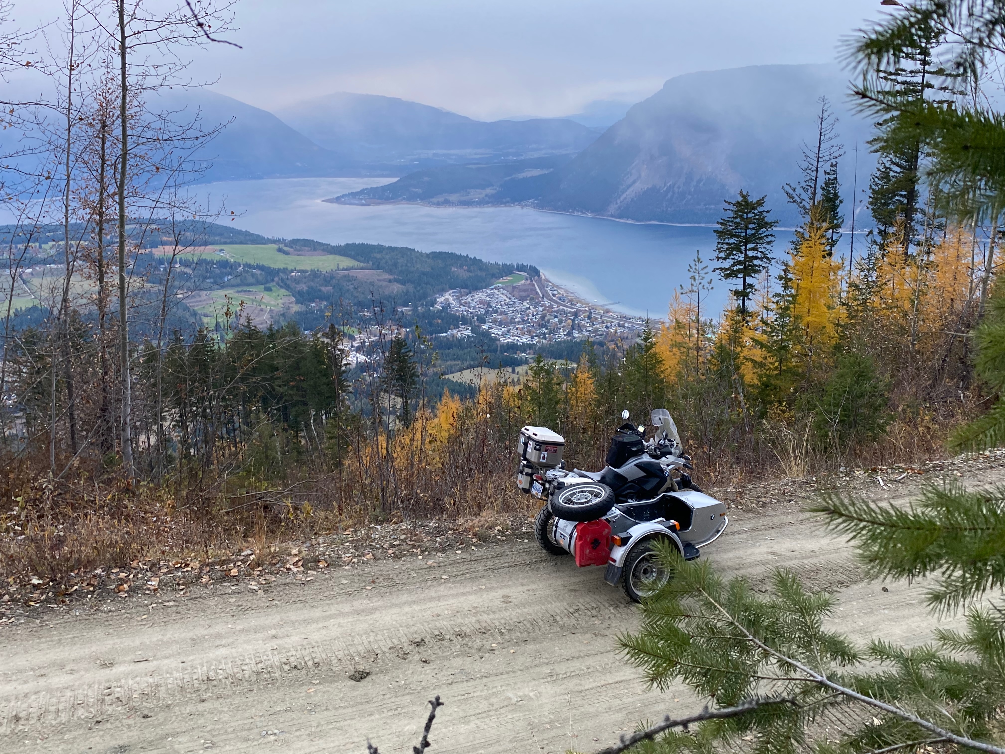
A little FSR. ( forestry Service Road ) up behind my house in Little old Canoe.
Wee bit of trivia- my ancestors were the founders of Heber City, UT. Dad knew the story.
