The Blue Mountains of Oregon
Kind of a big area for just a road I would recommend. The Blue Mountains stretch 400 miles across Oregon and they are 200 miles wide. From the Ochoco range to the Wallowa and ending at the Snake River. I crossed them in 2017 and in 2021. The Oregon forest roads seem to have a lot of money available for maintenance and are generally low traffic. And I've just scratched the surface.
A selection:
The Ochocos are cattle country. Folks from Idaho and Nevada would be blown away by grass and little sage.


Most of the hills in the background burned a couple of months after this.


Going down into Troy, Oregon from the west.


Crossing over to Wallowa and the Wallowa mountains in the background.


Looking west to the Wallowa from the Hat Point area.


Lostine canyon


I tend to take the dirty roads but there are some really nice twisty blacktop roads all through the range.
Great photos!! Thanks much for posting these. Many thumbs up!!!
Very nice photos. You obviously have an eye for photography.
My first trip though this area was in 09' riding solo coming south from B.C. I have been back twice with small groups, however hack-less. Hope to be back in this neck of the woods in the coming years.
Stunning area for sure! Thanks for posting. 🙂
Hold my keyboard and watch this! 🙃
Great photos, Metalcarver!
You mentioned that area being cattle country. I was riding in a pretty remote part of the northern Wallowas on a road that varied between 1st gear and 2nd gear, heavy forest, when I ran into some cattle blocking the way. I'm thinking "what the hell are cattle doing out here in the middle of the woods?" They were skittish too. I passed maybe a dozen of them spread over 1/4 mile of road when I ran into a guy on horseback wearing a straw hat and an immaculate white shirt buttoned up tight at the neck and wrists. OK, he was more weird than the cattle. Of course, he's looking at me and wondering who's this guy and his dog riding a motorcycle sidecar through the woods? So I guess maybe we were both surprised.
Turns out he and his family have a cattle ranch, per se, where all the cattle roam wild in the mountains. Then once a year he and his kids go out on horseback and round up as many as they can find and drive them back for slaughter. This is not just "grass fed beef" it's "free range beef" that eats the same diet as the local deer and elk!
Here's their website -- https://www.mountain-beef.com/our-grassfed-beef
You can buy as little as a quarter beef and have it shipped to your home. You'll need a good-sized freezer.


This is them (borrowed from their website.)
Have owned 5 rigs but Rig #2 is my current one!
Hey Thane- I recognize the position you're seated in to take the photo! I drove school bus here for 13 out of 14 years. A great retirement job and the most fun job I ever had. I took a year out after 8 or 9 years but missed it so I went back and drove some more.
Beyond that and over to the topic of livestock on the hiway, Barb and I were on my old GS 850L, my brother Fred following a ways back on his bike coming up the old White Bird hill when we came on a large flock of sheep being moved. We slowly worked our way through the heard and on to the top. We waited a long while for Fred. When he got there his comment was, "Whose dumb idea was this?!!"
Yes, for many driving school bus is a good retirement gig, especially for farmers with flexible schedules!
Unfortunately, I am also a teacher of some of the kids I was transporting. I only drove the morning side of the route and after two years, I was getting kind of cranky from the 5am wake time. Now I only sub in the afternoons and sleep better at night!
Illegitemi non carborundum est!
I drove after I'd retired from a career with an irrigation district that offered state retirement, including military active duty. We moved here and driving bus was a most excellent way to enhance my retirement and support my motorcycle habit.
Back to the Blue Mountains of Oregon. Metalcarver's pics pretty much says it all, but I've got a bunch stored on my Photobucket account, so let me hotlink some of them here for you guys from the East Coast salivating. If not showing up on your browser please let me know via message or whatever.
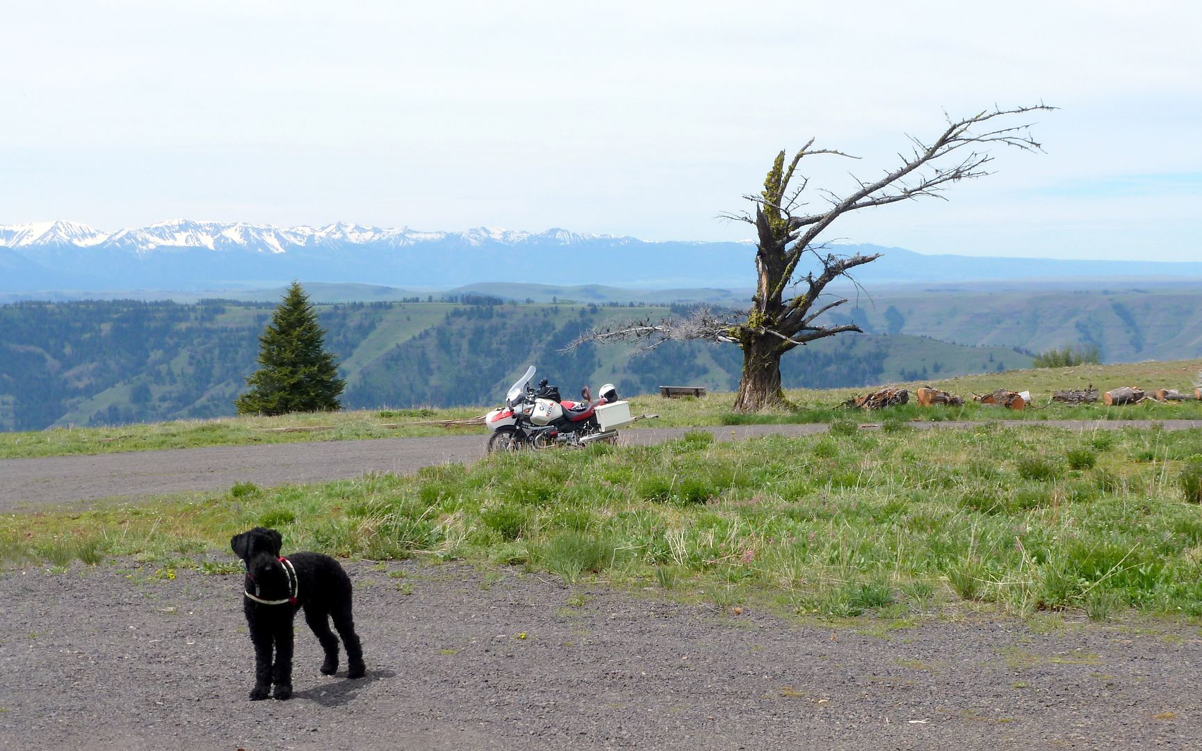

Pretty sure this is Hat Point Lookout. Google Maps ----> C8QQ+47 Imnaha, Oregon
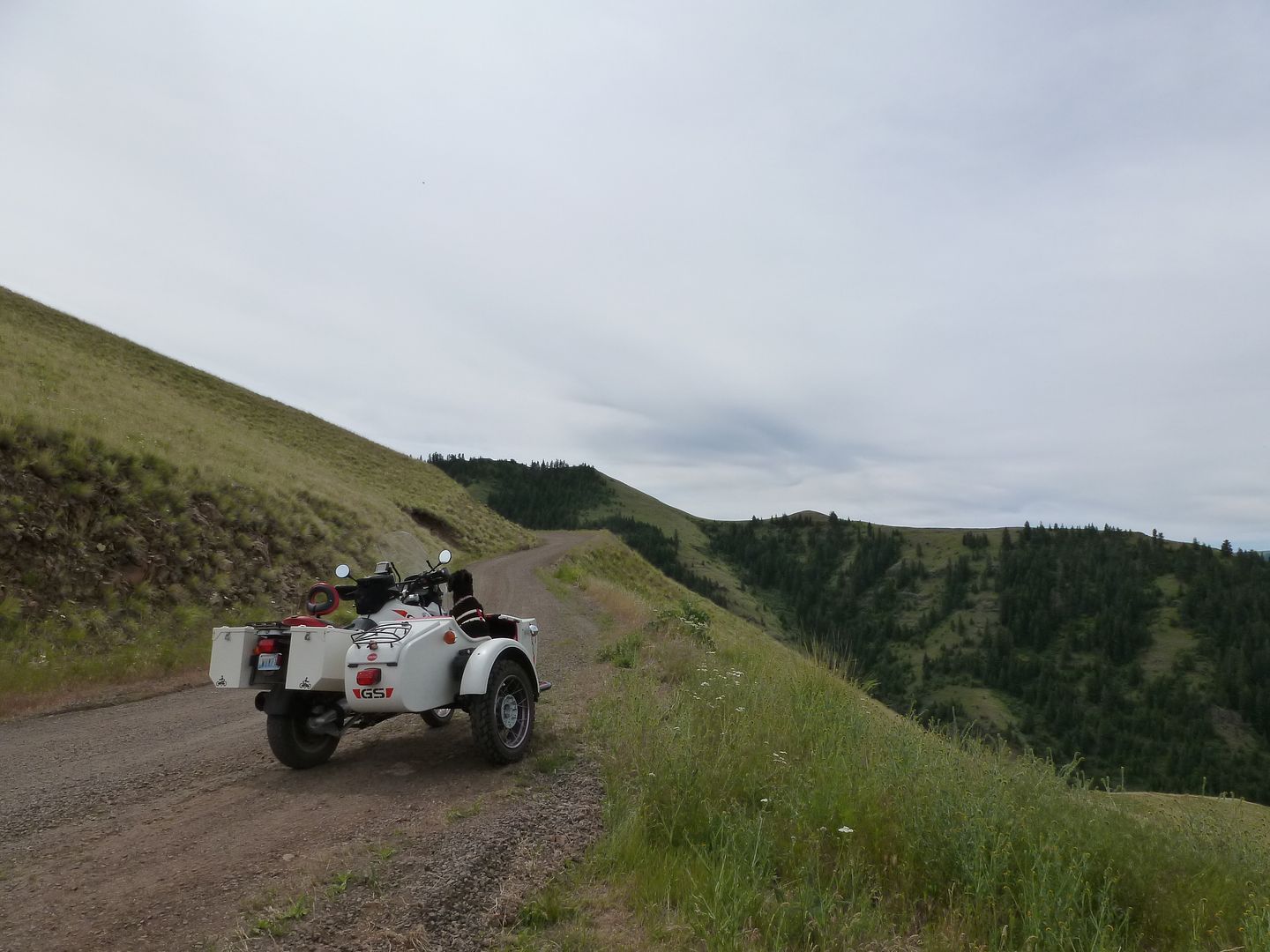

This is the road you take to get to Hat Point. About an hour of these curves to climb from the paved road down below.
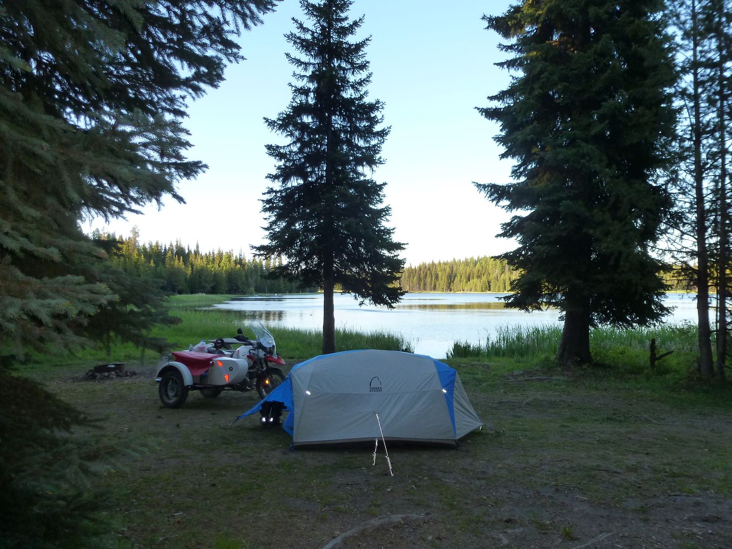

Free campground. First come first served. I arrived around 7pm and had to settle for this spot.
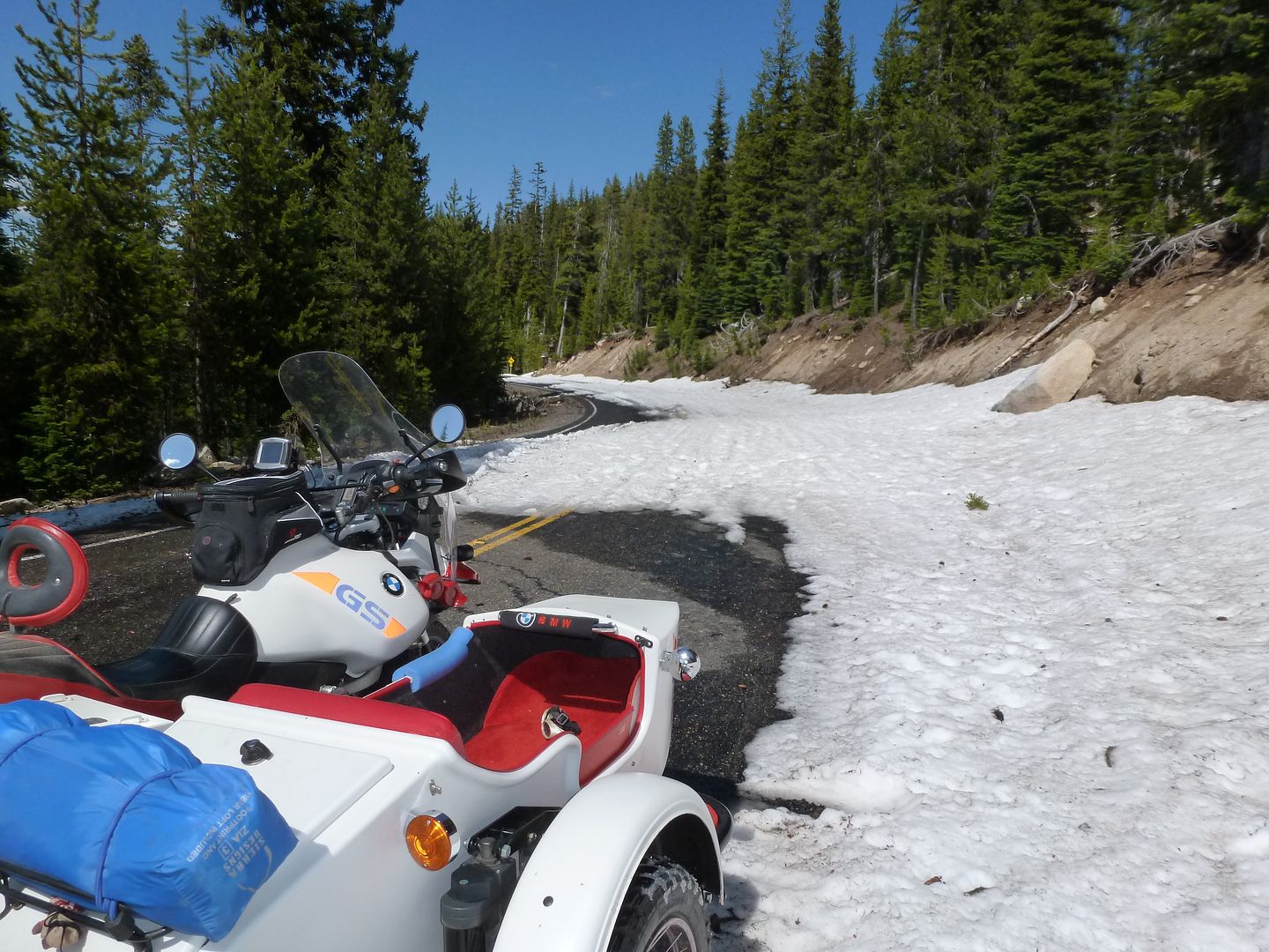

Still some snow in late June around 7000' elevation. Probably around here ---> XQF6+5J Little Alps, Oregon
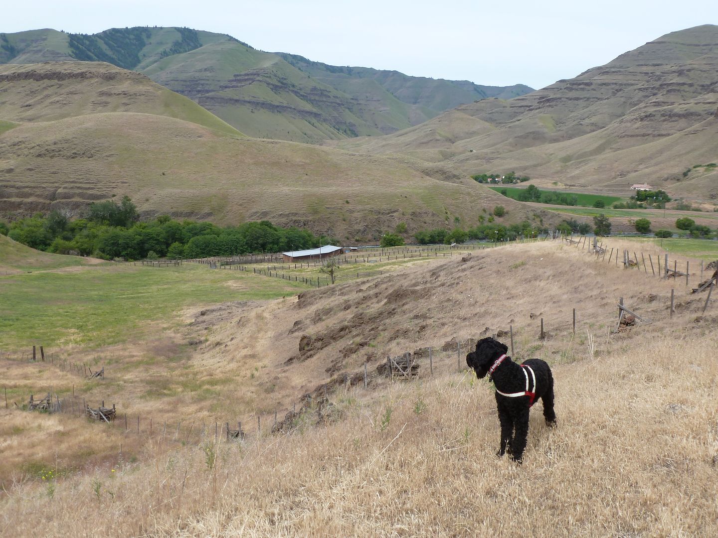

Small family cattle ranch on the Imnaha River.
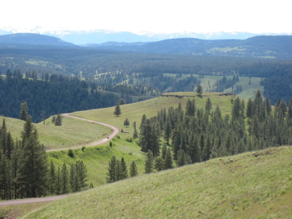

Yes, there IS a sidecar in this picture! Somewhere below Red Hill Lookout ---> QVQW+9R Lewis, Oregon
Have owned 5 rigs but Rig #2 is my current one!
Yeah, I get that feeling every once in a while ... like someone's layin' for ya. Drone has been following me from Wyoming to to Idaho to Oregon to Washington. All sneaky - like. Makes a guy throw an extra stick on the fire.
Jerry sent me an email asking for routes. I have a page of OREGON ROUTES. Not definitive just where a geezer on a sidecar went. One caveat is be sure to go UP Hess Road not the other way. The LaGrande to Troy route burned near Troy several years ago. Some of the places I have been to were, shall we say, not amenable to tourists, so I did not include them. Instead of open range like the rockies, there are some giant mega ranches. The routes are all on Gaia and to download gpx or kml files I think you have to register (free)
Thank you.. Awesome pictures. Plans are forming up for a week or two exploring this area next summer.. So those maps will come in handy
Someone or some thing just might be layin' for ya. Just never can tell...
- 29 Forums
- 11.3 K Topics
- 85.2 K Posts
- 3 Online
- 5,222 Members
