The 2026 Sidecar Rally registration is now open! Click here: USCA 2026 Rally Registration Form
Brian,
I'm late to this ride report! Super jealous from Calif. I need to catch up on this RR.
Dang, I need to retire and head north young man. Just head north. I will head out tomorrow to start the Continental Divide Ride on the KTM. Only Mexico to Canada for this lad this year. Glad to see the hack is still munching miles. Oh' I guess Kilometers in this case.
Dave
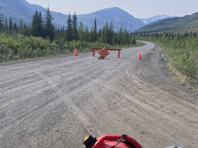
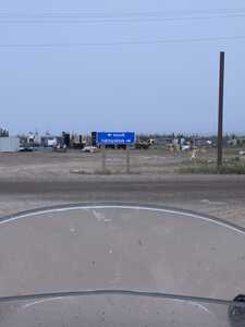
So, the topic of the day in Dawson was road closures. I was about to sit it out and go into town for another day of just hanging out when word hit that the corner was open.. I packed up in a hurry and headed out.. Made sure I had fuel, food and water cause you never know.. Both fuel stations at the corner. It was known as the Klondike corner but is now known as the Dempster Corner, I think. I'll just call it the corner just cause. 🙂 I had the ten litre can full so was confident I could make it. You could see where the fire had burn't right to the road but there was no sign of equipment or fire.. Just highways guys hanging out.. They said I was good to go.. About twenty miles up the road the air cleared and it was a beauty of a day.. Road was good too so I made good time.. Got to the Tombstone campground and had my choice of sites.. Enjoyed a nice evening and a couple of short hikes. Only people coming down from the North seemed to be driving at camp ??? Seeing as they had a Starlink set up so you could register for a campsite on-line I went on the Yukon 511 site.. Road information which is usually way behind.. It was telling us that the Dempster was closed due to a fire at about twenty miles up the road. If there was I didn't see one!!
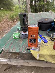
I was finally out of the coffee I brought from home.
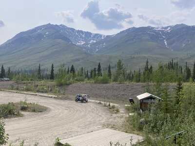
The Information centre at Tombstone. They didn't know any more about the fires than we did.. New travels slow up here.
Right after I had set up camp these went up and stayed for a day or so.. Was real nice actually. I had the road to my self almost.
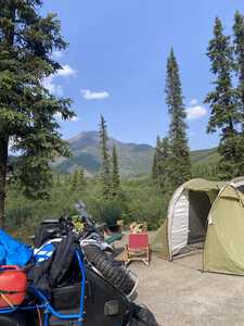
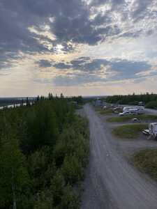
the view from my tent
The view from a short hike--
On the way the next morning. same view
Just leaving the park-
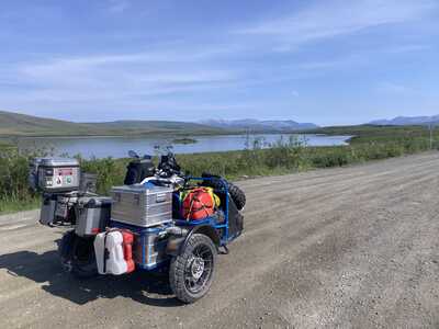
This is called two moose lake-- last time up there were two moose in the lake-- sadly not this time..
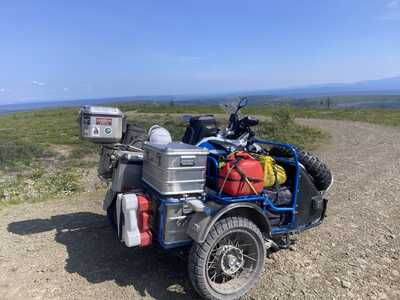
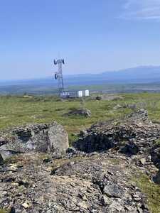
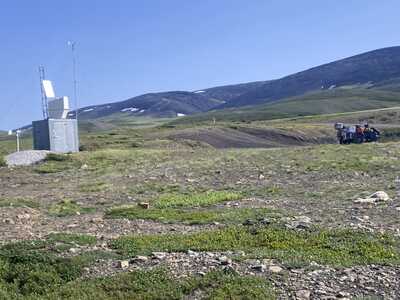
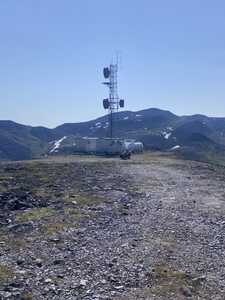
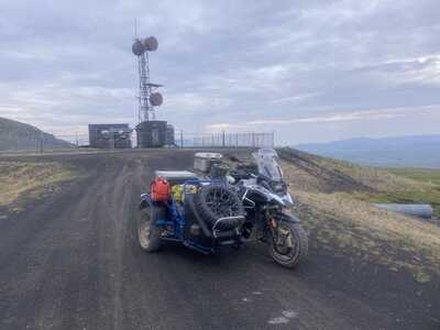
Along the way there are little side roads that get up up higher.. Microwave tower installs.. Generators running to power them.. Funny they haven't added cell repeaters yet..
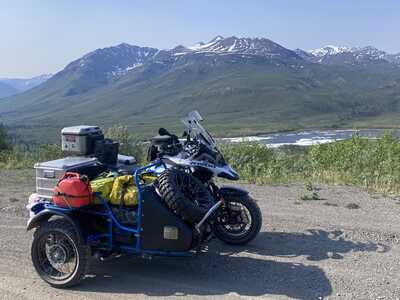
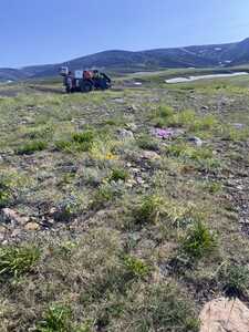
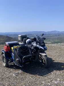
Photo of the Microwave tower-- side car there if you look close
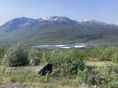
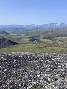
This view point is actually kind of special for me-- it is where you realize that you are in remote territory.. Looking east here and there is nothing for 2000 miles other than raw Canada until you hit Hudsons Bay.. It's quite something when you think about it.. Not many other places on Earth like that now.
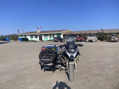
Eagle Plains-- I made it but dumped a bit of fuel in just because.. It had been 400 kilometres since I filled up
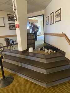
Last time here there were several dogs waiting on the steps-- They seem to know exactly how far they can go into the restaurant.
I camped over night at Eagle Plains,, Just because.. Had a great visit with some fellow Canadians.. Ontario and Quebec.. Liked to drink so I had a couple more beers than I normally do!! A bit of a fat head in the morning and the mosquitos were so damn bad that I took down camp as fast as I could and went into the restaurant for breakfast.. The guy in the picture, it turned out is my neighbour just down the street.. I'll have to look him up, now we know each other 🙂
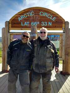
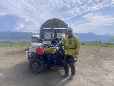
Crossing the Arctic circle..
The View from my campsite in tombstone.. No Mossi's so was very nice evening
OK, time for more. Was interrupted with rig maintenance and a trip to the LBS Open house.
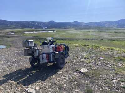
As you leave the Arctic circle and climb up to the border with the North West Territories you pass through this broad valley. There are several short roads off to Microwave installs.
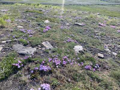
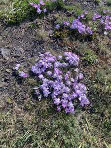
Of course I explored each one not being in any hurry. I was rewarded with the flowers in full bloom
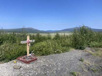
On on side shoot I found this wonderful memorial to some long term resident who had spent a life time, living, working and playing here.. People were leaving little tokens as offerings. I also left a small offering
flowers
Close up
Last time I was here it was cold and foggy, not today
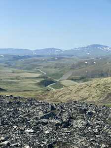
After crossing into the NWTs you drop down then climb over the Richardson Mountains.. At the top there is another sideroad. Today the views were spectacular
These installs have diesel generators running 24/7. Not sure what they are for, civilian or defence. No security at all and the gate was open.. I guess, not really essential.
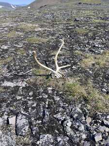
I explored a tad while admiring the view. Came across this. Not sure it is left over from hunters or a grizzly kill.. Hmmm where is my bear spray.. Maybe we will get back to the rig and safety.. 🙂
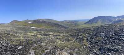
One last pano vista from the top. Pictures just don't do it justice
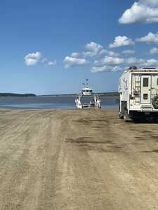
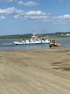
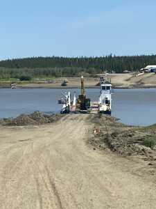
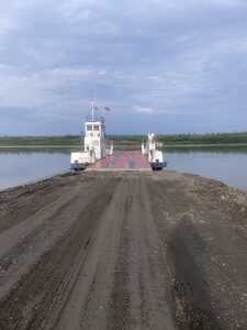
After the Richardsons, you spend some time dropping down to the Peel River and the MacKenzie River delta. There are two ferries you have to take, with about 60 k between them.. Both are free but you have to be patient as they run on their own schedule as every thing does in the Canadian North. 🙂
Last trip I waited at the Peel for two and a half days as the river was too high to run the cable ferry..
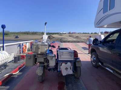
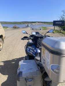
This time I had no issues first on and first off
The Mackenzie one is self powered but takes time as it stops at a small isolated village just up river so does a big triangle each trip.
Not your usual ferry traffic any where else 🙂
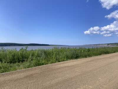
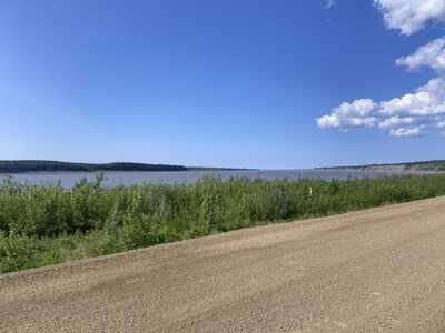
Looking down stream on the Mackenzie.. I was hoping to get a better shot but you head inland right away and then have a boring, straight, dusty, 80 K run to Inuvik
Waiting, lots of waiting.
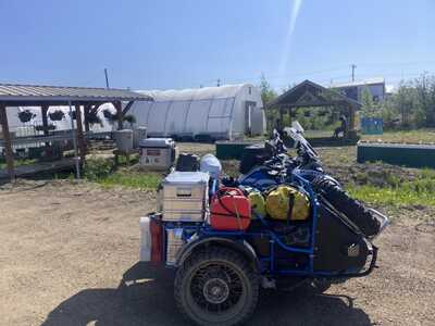
In between ferries there is the village of Fort MacPherson. I fuelled up and took a break for lunch, Had a great conversation with a couple of local gals who had this community green house going.. Doing really well but they were having trouble managing with too much sun shine. Plus they had to manage water as every one has tanks and has to rely on truck deliveries. Interesting problems for us Southerners
These freeloaders were fun to watch while passing the time on the crossing.
Thanks, Brian, your posts and pictures bring back a lot of memories, as I can recall being in every one of those spots, ferries, Ft. MacPherson, and that long dusty flat road to Inuvik.
Two Million Mile Rider
Exploring the World in Comfort
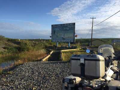
@miles-ladue -- Ah yes, the old sign.. They have this up now. Not sure I approve but then change is happening to the Canadian North. For better or worse
My picture of the old one..
OK, back from camping and a busy summer of just doing stuff. Even bought a new motorcycle???
After the McKenzie ferry the road gets a bit boring. Mostly a Straight shot North.. Rough and Dusty this time, Last timing it was rough and WET!
Tried to get a picture of the River but there isn't really a spot, Best I could do
I rolled into Inuvik about midday. When the sun is in the sky for 24 hours you start to loose track a bit as to what time of day it is.. Anyways got a camp site just out of town and then went to town to explore and resupply a bit
I took a couple of days to re-coop and just enjoy being lazy. It was also warm.. I slept on top of the sleeping bag most of the night.. Well, from 11:00 PM to 7:00 AM as there really is no night this time of year..
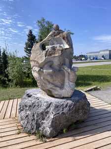
Statue out side of the visitors centre. For some reason I took very few pictures around town. But I checked out most of Inuvik.. Seemed a tad more shabby than I remember from before. I think that is just me being judgemental, northern houses and yards have to survive very harsh winter conditions and short summers. They do have a new Wind turbine up on the mountain and a huge Solar array being installed just on the out skirts of town. They also have a huge community green house that was being well used. Part of my mind set might be because I went to where I knew there was a spray wash and gas station. Every thing was sort of delapitatedand not working. Exploring and checking Google I found the other spray wash.. Much better shape and the guys running it were on their game and friendly.
Maybe the cost of things got to me a bit too!!!
After a few rest days, I loaded up and was ready for the last push North.
Hmmm, right or left
Tuktoyaktuk of course, that why we came.
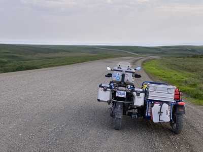
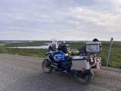
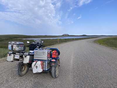
On leaving Inuvik you soon leave the tree line behind and enter the true tundra. The road weaves around on the high ground as there is lots of water here. Between the McKenzie delta, the Beaufort Sea and many lakes. At first the road is in great shape then the pea gravel starts.. They had hauled large rip rap up to Tuk from south of Inuvik last winter to rebuild the sea wall along the shore of Tuk.. The Thousands of Truck loads sort of beat the road up so they top capped it with river gravel. I called it 2 inch minus round stone.. With the rig is was sort of fun, getting pitched around and sliding but a two wheeler would have had an interesting time of it. not sure is speed was your friend or not.. 4 to 6 inch wind rows of loose round stones..( gravel)
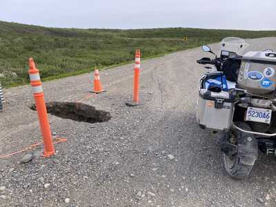
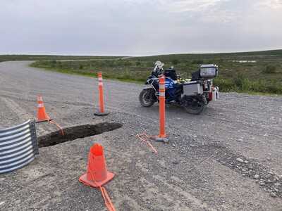
Plus there was the odd sink hole, some marked like this one some were not!!
The road is built on perma frost and the odd creek has melted that out from under neath.. Then takes the roads out from the bottom.
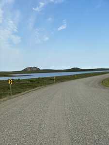
First pingos
It was about here I encountered the young couple from Quebec on bicycles.. They had rode from Montreal but were just about done with the tough ride on the pea gravel. They did have a ride out though. There was a whole group waiting for them in Tuk. A rag tag group that had just got together as they traveled. A bunch of Aussi's and a few others from Quebec. Ah, to be young again and have the time for adventures like this. Hmmm, I guess I have time, just not youth 🙂
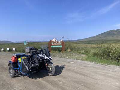
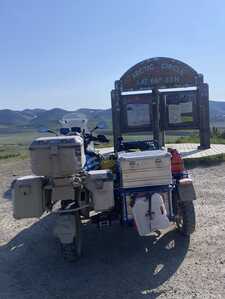
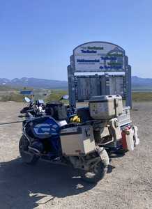
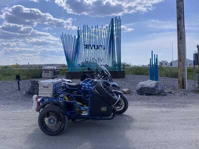
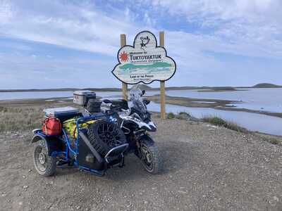
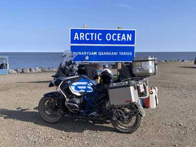
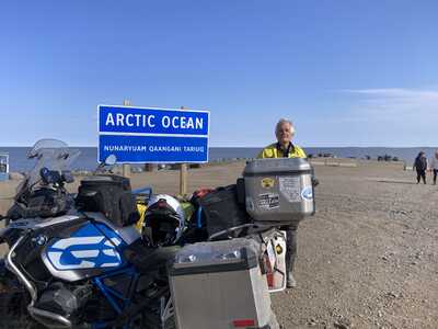
They moved the sign a bit further out of town. Give a good perspective of things.
There is also a new sign on the spit
Misson accomplished- I meant to get a better picture but just didn't get around to it..
The Arctic Ocean.
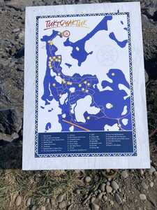
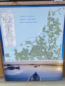
A map of sorts.
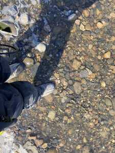
My boots needed a wash. No! I didn't go for a swim. I'm silly but not that silly. 🙂
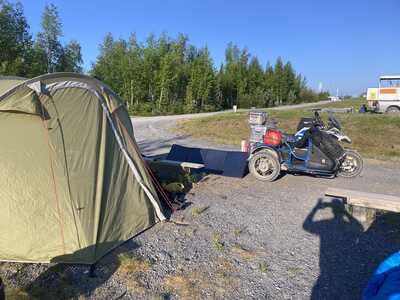
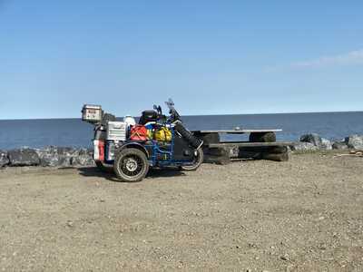
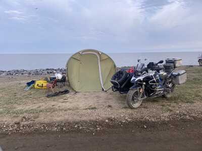
OK, I made it. yippee and such. Of course it is one road up and out so one has to return via the same road.. First, we had to spend some time and just soak it all in.. So I set up camp on the spit of land that the Hamlet of Tuk has set up for travellers such as my self.
Little did I know that all the locals do townie laps until about 2:00 AM.. Stirring up the dust.. I think they were playing base ball too. The sun never did set, who knew 😀 Plus there was an incessant wind flapping the tent all night. Not much sleep for this bad boy. But I did sleep in, the constant day light messes with your clock a bit.
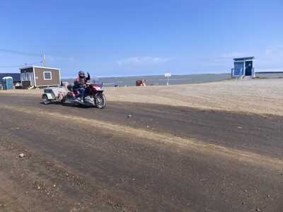
Anyways, explored Tuk a bit more than I did before. A couple of fellow bikers and I were discussing the road and how they were not looking forward to riding back to Inuvik, and this guy rides by.. Well! That ended that conversation 🤣
Miles is that you?
One of the local RCMP members stopped in to yak about the sidecar, Good guy and loving it up North. I went to the local detachment and bought a Tee shirt for dear Kathy. and some stickers.. Every one has them now, best ones at the visitor centre.
Some random Tuk pictures
Start of our trans Canada hiking trail. Silly buggers 🤣
Another map just incase you don't know where you are
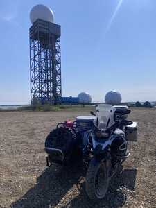
Some heavy duty communication equipment. I didn't ride over to where the deep water port was, didn't feel the need
And arty shot, as low as the sun got
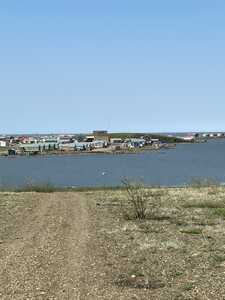
Across the bay from the Hamlet
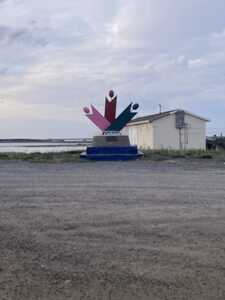
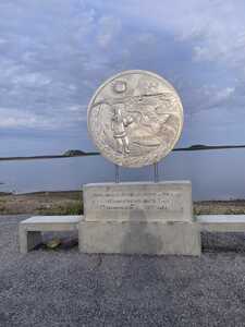
We commemorated the North on a coin.. Collectors loved them, I don't remember ever seeing one,, I use plastic most every where.
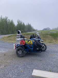
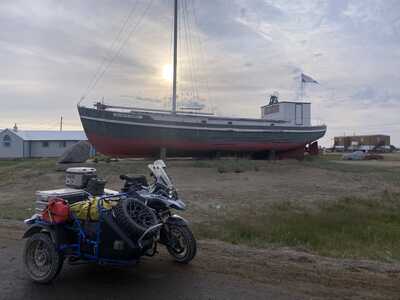
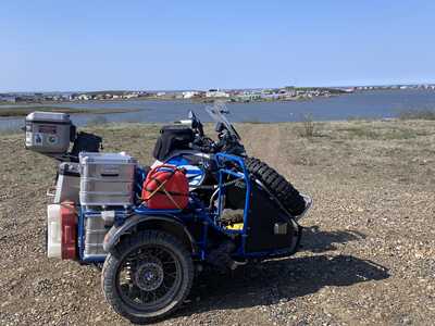
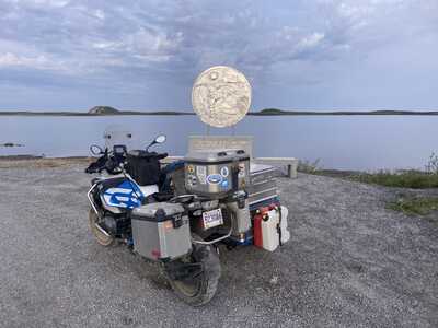
Side car in the shot.
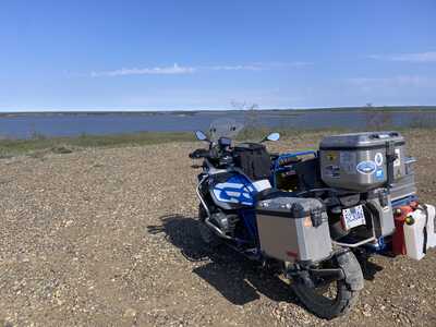
Looking North
Thought it made a nice shot. They had a picnic spot here, where you could launch a kayak and paddle over to the pingo's Apparently it is a thing. They have a wharf on the other side to tie up to. Water access only.
Thank you for the excellent photos and narrative of your amazing adventure!
Of course, once you get to Tuk, you have to head for home. No easy feat either. First I had to face a 100 kilometres of the pea gravel road. Not really a problem with the sidecar, you just get tossed around a bit.
Once back in Inuvik, I had lunch and waited for the liquor store to open. Sure glad I don't drink Zero Coronas. Hey wait, My Yukon Brewing ones are more 🤣
After getting re-supplied, I didn't in Tuk as there is very limited supply and I thought leaving it for the locals made sense. Inuvik has better supply, marginally but better. It was a none event to get on the Mackenzie river ferry this time so I made good time down to the Peel river even with stopping every time a big transport truck when by the other way.. The Dust clouds were quite something. I elected to camp at the Territorial Camp ground just North of the river. Their solar power system was on the fritz but the camp attendant said he would fire up the generator so I had Hot water for a shower.. Mighty nice of him. the campground did fill up a bit so it wasn't just for little old me.
After an early night, the Mossi's drove me into the tent, I was up early. Knowing I needn't rush I took my time packing up and made a nice breakfast.
Still I had an hour wait once I got to the ferry.. Northern Time 🙂
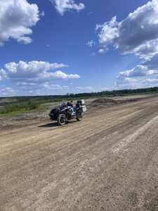
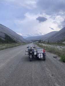
South of the Peel, I took my time, Stopping when something caught my attention or there was a good view. Took a few side roads just to see where they went. Slowing down for industrial traffic or when the road got rough.
These are a bit out of order, forgive me if you can. 🙂
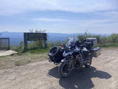
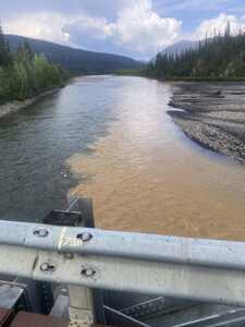
Here is where the red creek enters the Ogilvie River
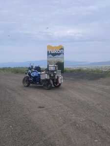
Entering the Yukon again
Radio tower gave for some good views.. Right on the NWT/ Yukon border
Arctic circle.. A young German fellow had a mat laid out and was doing Yoga.. I shit you not! Anyways nice fellow, his camper van was parked a bit away, why I found it a bit weird at first.. He took this picture
Just before the Arctic Circle, 50 k or so, I pulled into the Rock River Campground.. Stayed there before. Didn't stay long as the bugs were terrible. Took long enough to say Hi to the bicycle crew that I had camped with in Tuk and talk with a gal and her son from New Mexico. She was about the turn around as the Mossies were driving them nuts.. I tried to convince then to carry on and the bugs further North were not that bad.. YET! Hope they made it
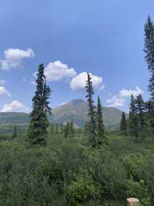
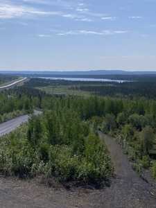
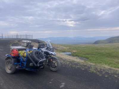
View from along the road
- 29 Forums
- 11.8 K Topics
- 93.3 K Posts
- 2 Online
- 5,604 Members
